
In the heart of Tuscany there is a small “Pilgrim’s Way” that between Florence and Livorno contains an exceptional concentration of art, history and nature to be conquered on foot.
The course, proposed and designed after in-depth studies and inspections by Nedo Ferrari, within and with the collaboration of the Community of Tuscany The Pilgrim of Florence, rediscovers and enhances a road more than two thousand years old, the Via Cassia-Clodia, which connects the cities of Florence, Prato, Pistoia, Pescia and Lucca, forming a stretch of the Way towards Santiago de Compostela. The route crosses a territory made unique by the frequency of exceptional historical, artistic, natural and religious, including seven cathedrals among the most famous in the world.
The way to go is rather simple, suitable for all those who are accustomed to walking. In total, the distance to cover is 110 kmdivided into 4 stages
The stages
- Firenze-Prato km 27,1. Difference in atitude 190 mt. Easy
- Prato-Pistoia km 27,1. Difference in atitude 350 mt. Medium difficulty
- Pistoia- Pescia km 29,6. Difference in altitude 300 mt. Medium difficulty.
- Pescia-Lucca km 26,3. Difference in atitude 190 mt. Easy.
The stage n Borgo 3 passes right from Buggiano to Borgo…
The stage is very varied and alternates flat stretches with ancient hills, often paved, which reach interesting villages and castles.
Leaving the city along the ancient route of the Via Cassia, now provincial road, you leave it as soon as possible to climb the Colle Lucense (time of Giaccherino) from which the pilgrims Francigena (jacquaires) They first saw the bell towers and towers of Little Santiago.
Then continue up and down in the beautiful countryside beyond the Pieve di Groppoli to the fortified village of Serravalle from whose towers you can appreciate the path we made from Florence and much of the one still to be done towards Lucca.
After descending to La Gabella go up the Via di Perticaia and then along the A11 motorway to the embankment of the Nievole stream that we cover almost to the historic early medieval church of San Pietro “in Neure”.
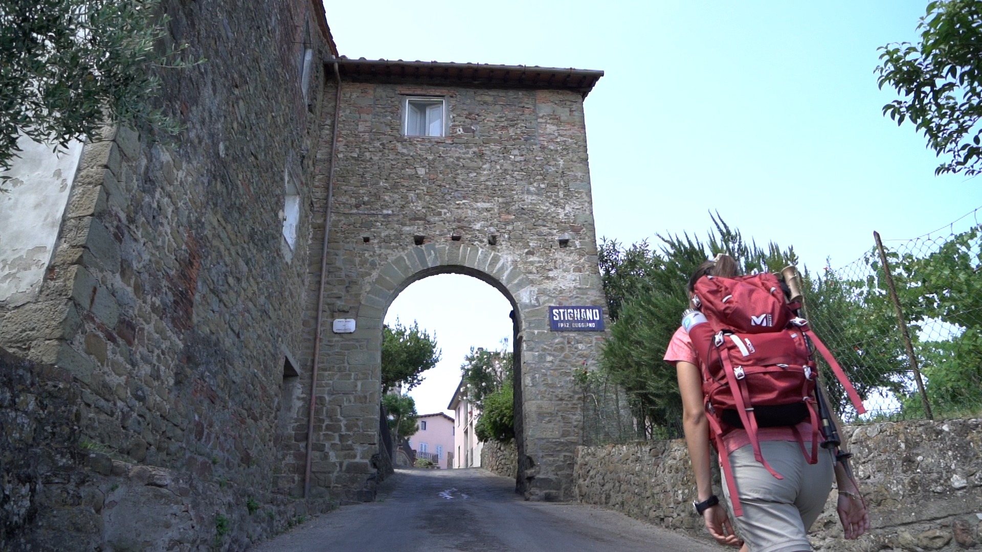
Then we continue to cross the beautiful area of the historic Terme di Montecatini and through the city center. You then avoid the traffic of the provincial Lucchese crossing the Park of Villa Ankuri and going up to the Castle of Buggiano, the village of gardens and citrus. We then descend again along ancient pavements to the stream Cessana that we cross on a medieval bridge and then climb up the hill to the fortified villages of Stignano, La Costa and Uzzano and their beautiful Romanesque churches. Uzzano, with its 300 ml altitude, is the highest point of the stage and offers us a beautiful view of Pescia and the entire Valdinievole up to San Miniato. We then descend quickly on ancient paved paths to reach Pescia with its beautiful old town and its Cathedral where the body of Sant’Allucio is venerated, hospitaller of medieval pilgrims.
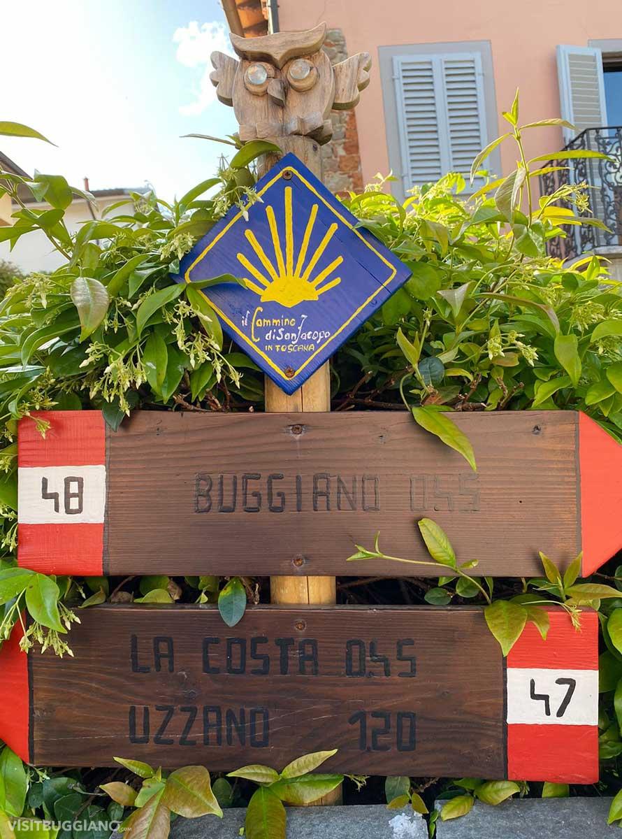
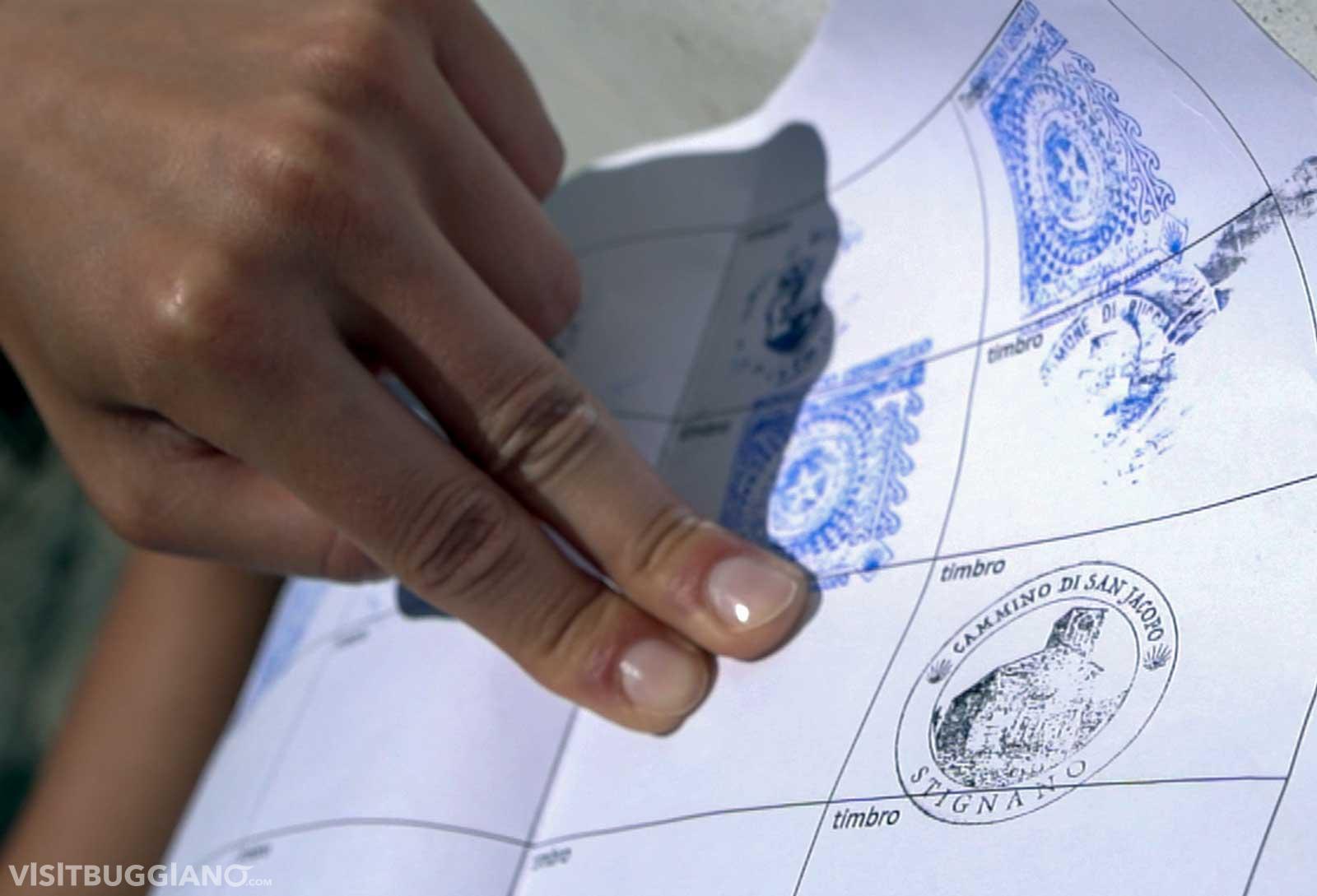
SIGNAGE: The path is completely marked with light stickers showing the directions Santiago or Rome, with yellow paint arrows towards Santiago and orange towards Rome and with yellow-orange signs on stones, trees, poles.
For more information about the Way of San Jacopo, visit their official website www.ilcamminodisanjacopo.it