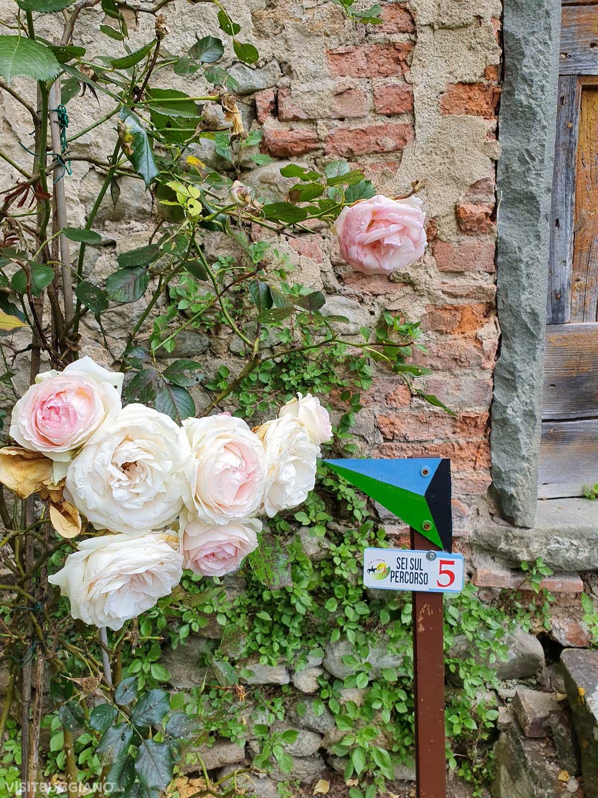
The blackcolor is assigned to the trail n°5. The path is ring and is marked with directional green and light blue arrows. The trail starts from the main car park of Colle di Buggiano, where you can park for free.
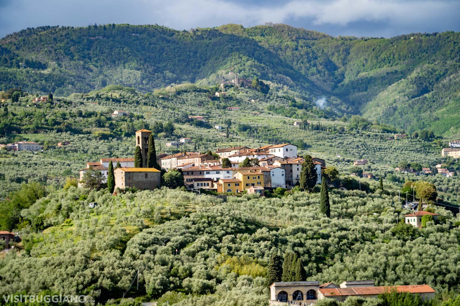
From the car park you go up the ancient paved road leading to the medieval village and in a few minutes you reach the main square outside the walls, where you can admire the Romanesque Church of S.Lorenzo. From the square through the door you walk through the small village, let yourself be inspired by the small streets that you will encounter will take you all to the exit.
When you reach the north gate, you leave the village behind and following the arrows you arrive at the provincial road to the locality Margine dei Ferri. Going to the left and then immediately to the right continue to Le Poiane, proceed walking next to the river Cessana between oaks and chestnut trees until you reach the ruin of an ancient nineteenth-century powder keg.
The country’s elders say that during World War II all gunpowder was hidden under this bridge.
Trekking on the road of the villages towards the “Pianacci”
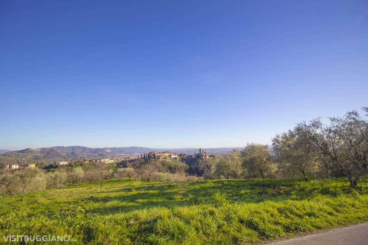
From this point the path begins to climb and you reach the holiday home La Pace. Taking the road to the left, third intersection, continue to go up to a fourth intersection where you have to turn right and continue uphill for about 2 kilometers until you reach the asphalt road of Via Stradella (which leads to Uzzano) and continue to the town Pianacci, where you will open in front of a wonderful view of the city of Pescia and the plain of Lucca.
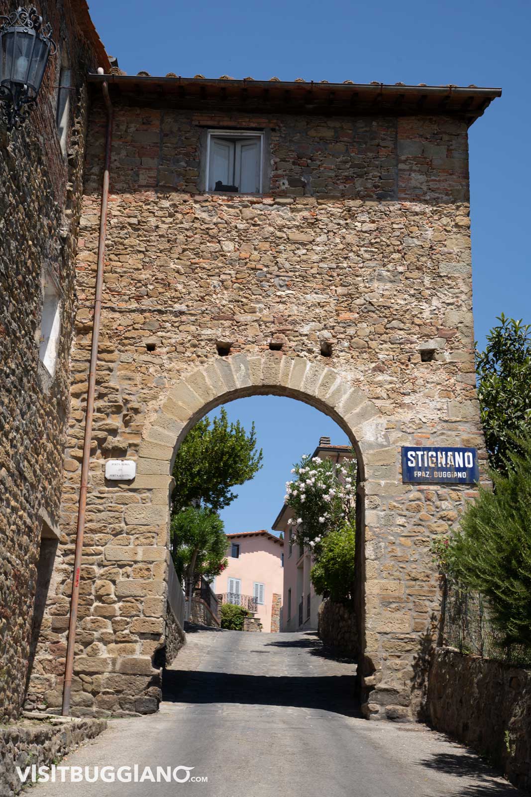
In Folavento you have to leave the asphalt road and take the path on the left (fifth intersection) and keeping left you go down along woods and olive groves to get to Campioni, here you will find again a junction. For the path n. 5, turn right and enter the forest until you reach the village of Stignano. After crossing the small village, go down to Borgo a Buggiano (wash house); when you reach the stop sign take a left (via Cessana) and after 600 meters go up right to Buggiano Castello, the famous Borgo degli Agrumi. The signage will take you through the various panoramic streets until you reach the beautiful Piazza Pretorio with its Town Hall and the Romanesque Church of Madonna della Salute and San Nicolao, recently restored. Continue overlooking a beautiful view and 200 meters. after the cemetery, taking a small path to the right will take you back to the starting point.